Interactive Valuation Tool
Role
Design and Development
Client
Ministry of Housing, Saudi Arabia
Challenge
Land is amongst the most valuable assets to a country, and Saudi Arabia is gifted with a total area ranking at the top 15 worldwide. Despite the available land, the country is sparsely developed and populated, and the housing market is not meeting the demand of its citizens. The decision makers have realized that providing affordable housing, as such, to its fast-growing population is a critical factor to the success of this vision, with the Ministry of Housing (MOH) being a key player in achieving this vision.
Solution
We present Moqayem, a web-based land-valuation platform that provides reports and summary information about raw land in the three cities; and it also provides an intuitive system to assist the MOH in calculating the value of a white land.
Our analysis involved coming up with three main concepts: the neighborhood index, city index and zoning index. In addition to explaining the valuation methodology that was used to valuate the raw land. Finally, we present Moqayem tool, which is a web-based land-valuation tool that provides reports and summary information about white land in the three cities; and it also provides an intuitive system that calculate the value of a raw land.
The raw land valuation assistant tool has two modes of operation: appraisal mode and statistical mode. The appraisal mode allows the users to calculate the raw lands value and fee, where is the statistical mode gives a high-level exploration of statistical measures about the cities, neighborhood and zones. The tool provides a package of different tools to interact with the raw lands data and models.
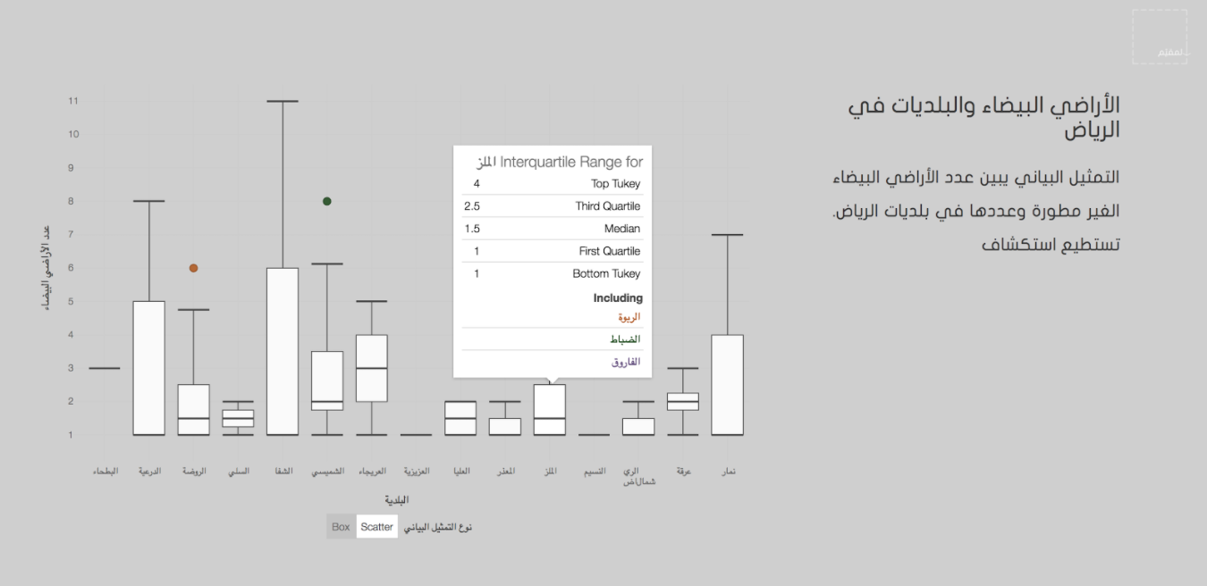
The second mode in the tool is the Data Visualization Exploration mode. In this mode the user can explore the data to gain insights from the data visualizations and analysis. The user can gain insights in different levels and scales and can view the data geospatially. Information about land prices, neighborhoods, municipalities and the number of raw lands of Riyadh, Jeddah and Dammam all could be explored through this mode. The following figures show a snippets of the exploration mode.
The header of the statistics page.
The user can scroll through the page to see different land and city statistics.
For the visualizations I have used D3 a javascript library for interactive visualizations. The following screen shots show the iterated version of the platform after adding more cities.


-


